
Any place on Earth,
in your scene.
Relevo builds real-world terrain inside 3ds Max from the best free elevation data, national LiDAR where it exists and 30 m everywhere else, with OpenStreetMap buildings and roads and photoreal V-Ray looks.
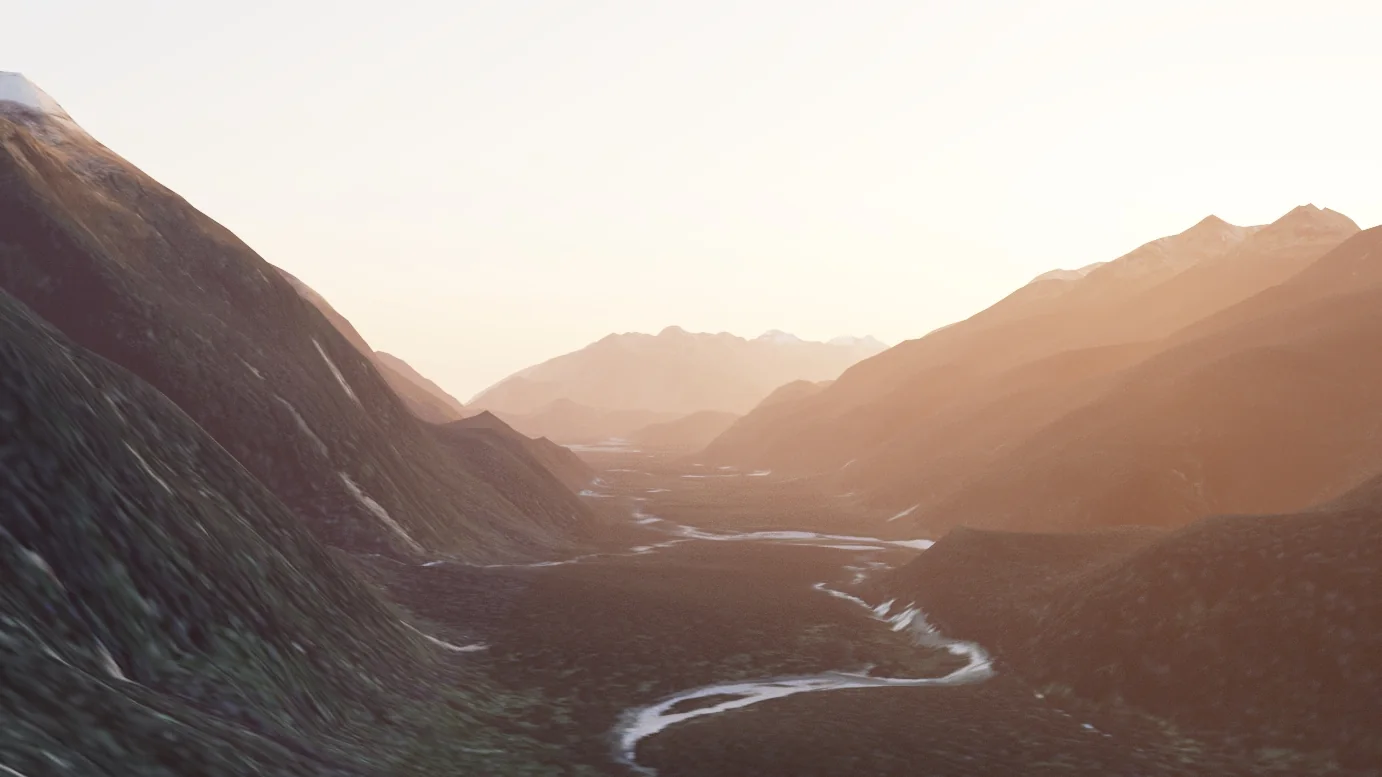
From a pin on the map to a render in three steps.
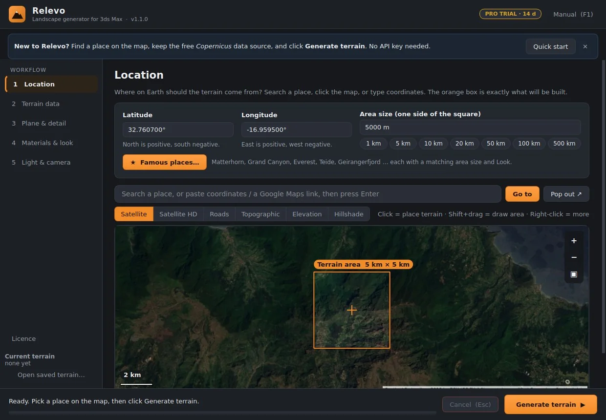
Pick a place
Search a name, paste coordinates or a Google Maps link, or click the built-in map. The orange square is exactly what will be built.
Generate
Relevo downloads the heights, cleans them and builds a real-size, subdivided terrain with its maps. Cancel at any time; your scene is untouched until the data is ready.
Apply a look and render
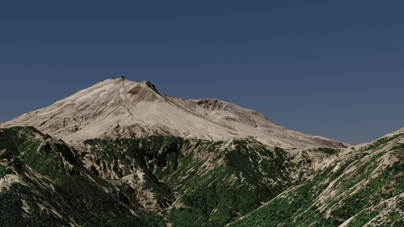
Choose Alpine, Volcanic, Desert Canyon and more: real PBR materials layered by slope, height and water, with sun, sky and haze in V-Ray.
Everything between the map and the final frame.
Best free data, per country
National LiDAR in seven countries (down to 0.5–2 m) and Copernicus 30 m everywhere else. Gaps are filled for you. OpenTopography and your own GeoTIFF or LiDAR files work too.
Large regions, up to 1000 km
Whole islands, mountain ranges or countries as seamless tiles, sharper near the centre and lighter far away, with optional Earth curvature.
The whole planet
A globe with real relief and cloud-free satellite colour, optional ocean floor, an atmosphere glow and a sun, ready for title sequences and space shots.
Cities from OpenStreetMap
Buildings at their real footprint and height, road surfaces by class, and splines for roads, rail and rivers. The ground is levelled under roads, water and buildings.
Photoreal V-Ray looks
Rock on steep ground, scree below cliffs, snow on north faces, damp soil along streams. Real PBR textures, a free CC0 starter pack, and scatter maps for Chaos Scatter.
Procedural terrain
Invent landscapes with Perlin or Simplex noise, ridged mountains, domain warping and erosion. The same seed always gives the same terrain.
Materials that read the terrain.
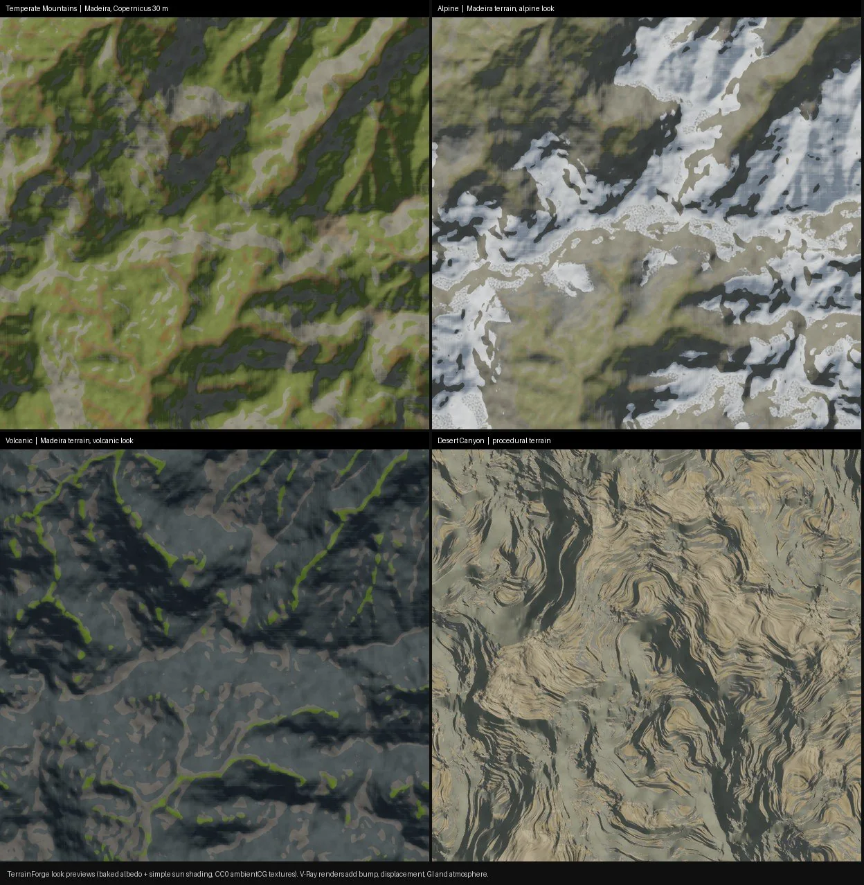
A look studies the slope, height, drainage and sun exposure of your terrain, then layers real textures where nature would put them. Colours are checked against measured values, so snow is never too white and basalt never too grey.
Built in: Temperate Mountains, Alpine, Desert Canyon, Volcanic and Coastal / Mediterranean. Use the free starter pack or your own Megascans, Poliigon and Poly Haven folders.
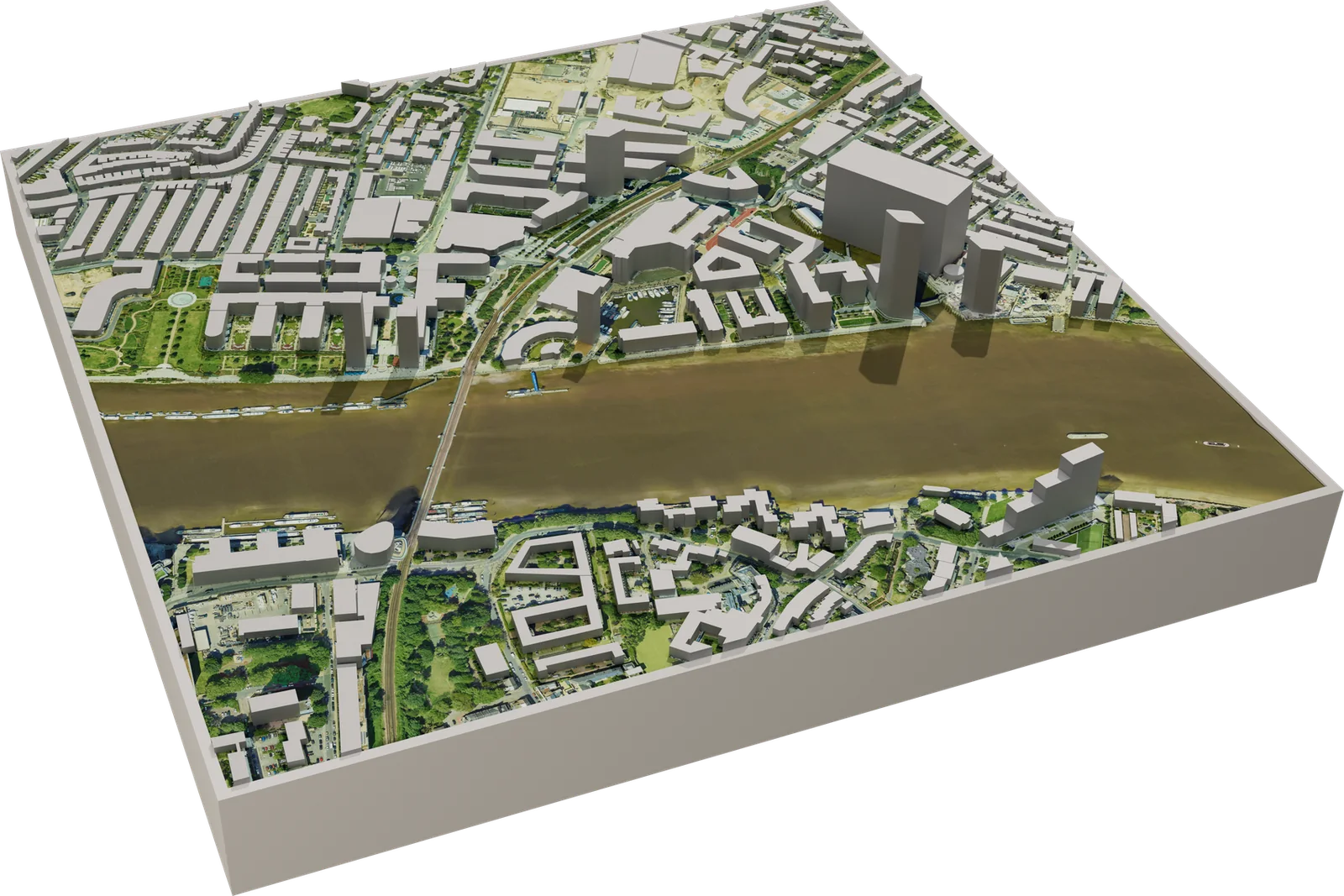
Put your project in its real surroundings.
Site context in minutes: the real ground, the neighbouring buildings and the streets around your plot, at true scale and altitude. Perfect for massing studies, urban proposals, landscape design and aerial views.
- Bare-ground LiDAR where available, so roofs and trees are not baked into the ground
- Walls and roofs as separate materials; road, rail and river splines for RailClone
- Masks for roads, water, forest and urban areas, ready for scattering
- OBJ export of buildings and roads for any other 3D program
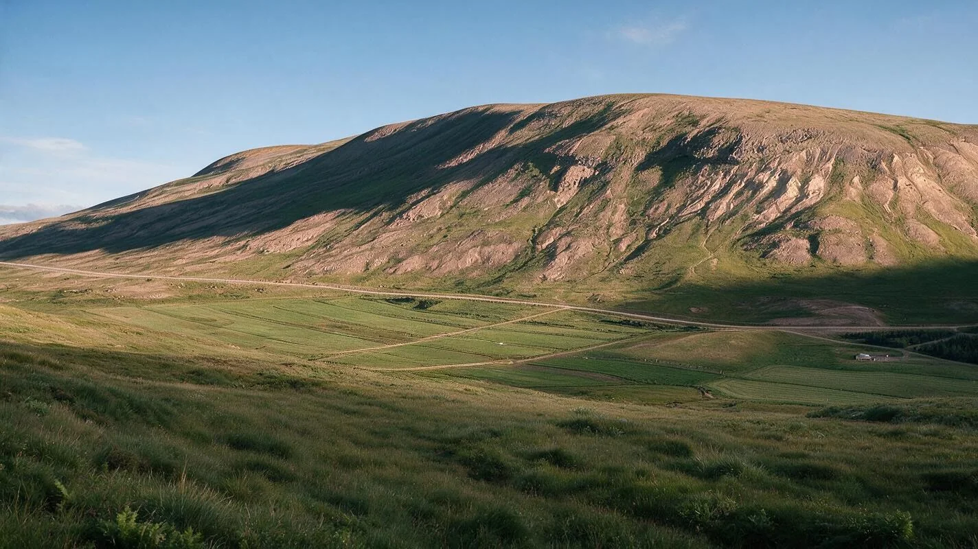
Rendered with Relevo.
Straight out of 3ds Max and V-Ray, with no post-production.
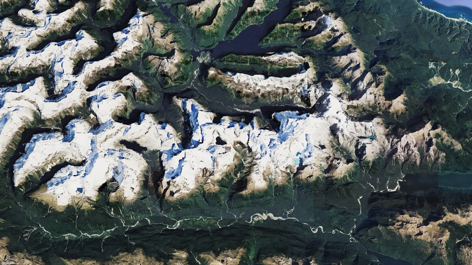
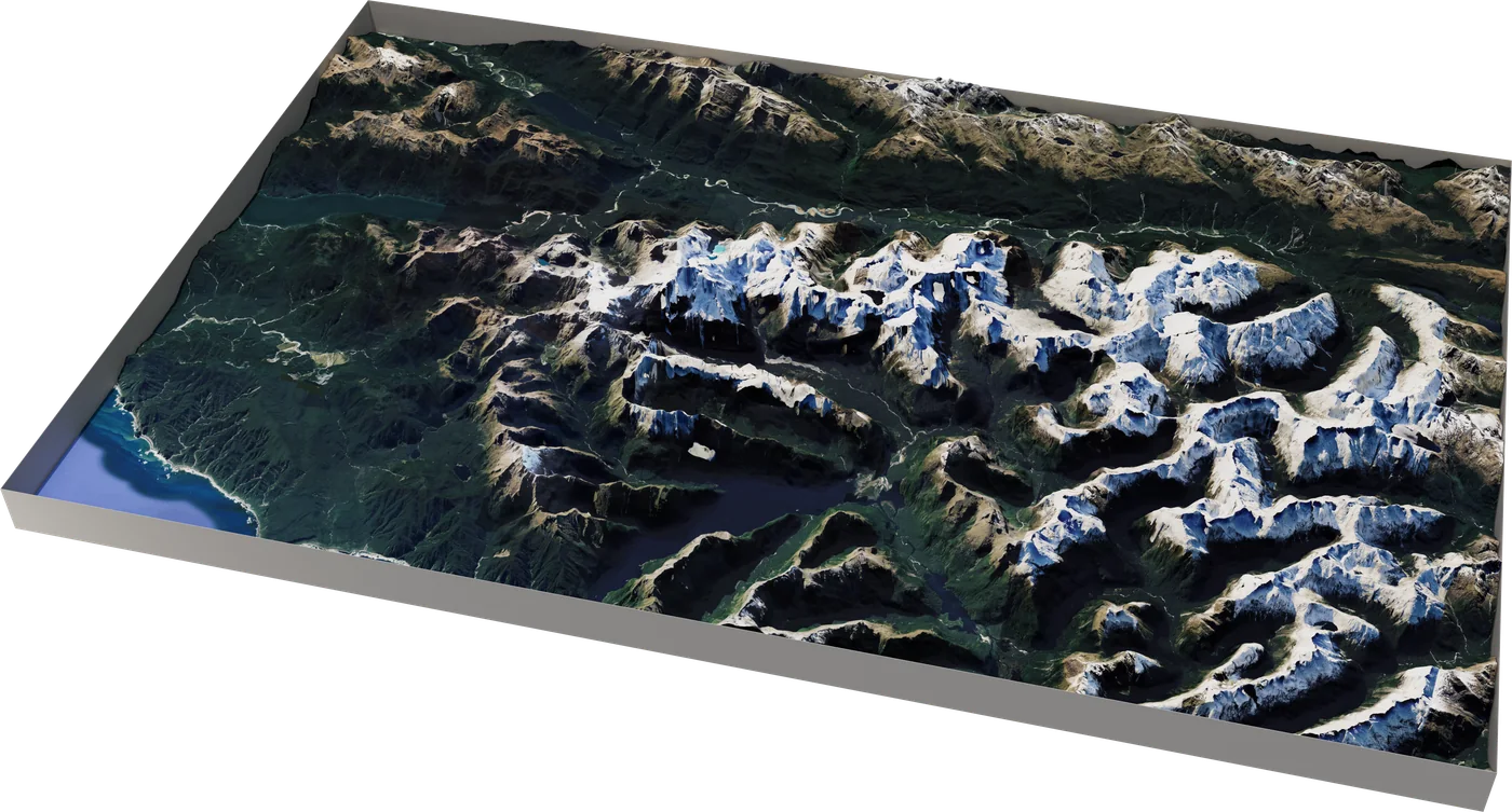
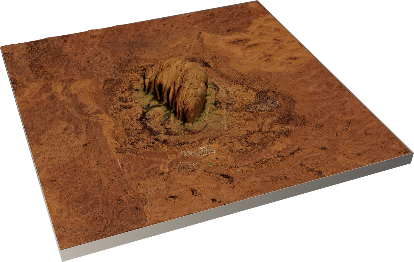
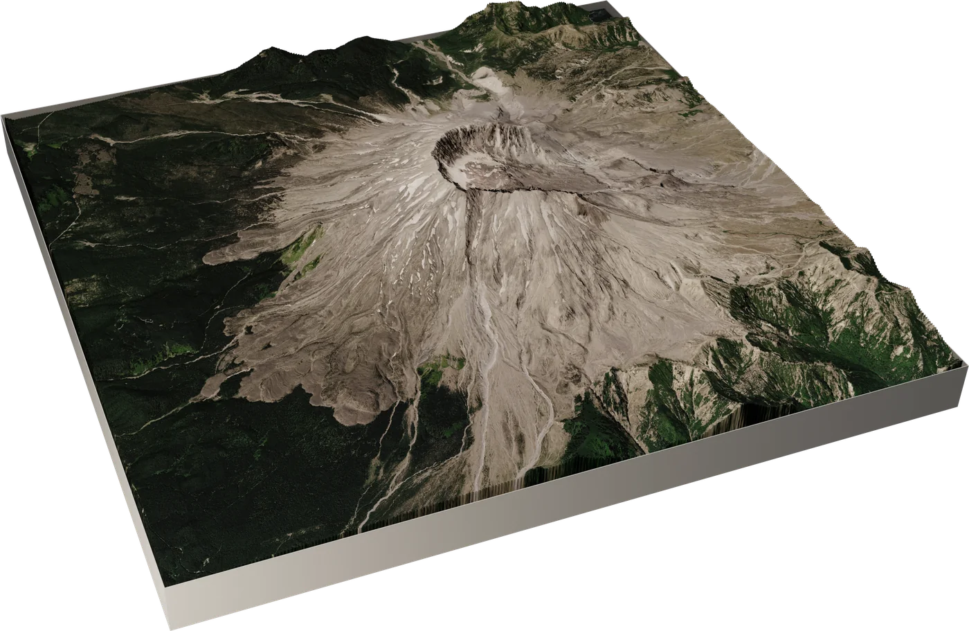
From Relevo render to hero shot.
Relevo gives you the true terrain, the environment and the V-Ray lighting. Your favourite finishing tools work on top. Drag the slider: on the left, the raw Relevo + V-Ray render; on the right, the same frame enhanced with Vizmaker, an AI render tool.
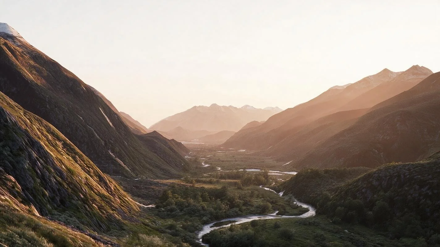
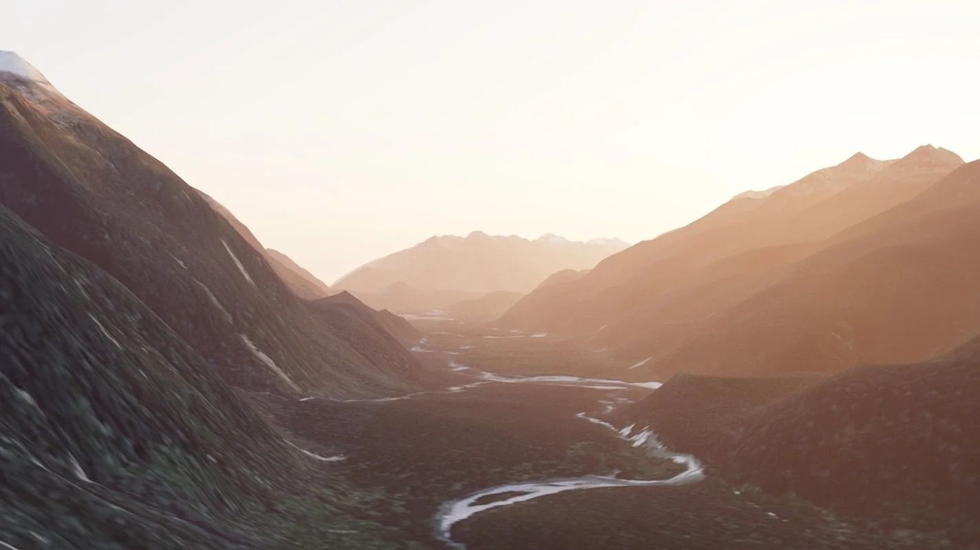 Raw · Relevo + V-Ray
Enhanced · Vizmaker (AI)
Raw · Relevo + V-Ray
Enhanced · Vizmaker (AI)
Start free. Go Pro when you need it.
Every download includes a 14-day Pro trial. Prices include VAT where it applies.
- Real terrain up to 2048 px (Copernicus, AWS)
- Procedural terrain
- Map, famous places, detail control
- Commercial use allowed
- Every Pro feature
- Every new version while subscribed
- 1 computer
- Cancel any time
- Every Pro feature, yours forever
- 12 months of new versions included
- Renew updates for £59 a year (optional)
- 1 computer
- Pro Perpetual for 5 computers
- 12 months of new versions included
- Offline keys for render farms on request
Pro adds: V-Ray looks and PBR materials, Chaos Scatter maps, OpenStreetMap cities, national LiDAR (Auto), OpenTopography and your own LiDAR, maps above 2048 px, large regions and the planet globe. Moving computers? Remove the licence on the old one, then activate on the new one. Already own Pro? Renew your updates for £59. Payments are handled securely by Lemon Squeezy, our Merchant of Record. See our refund policy.
Relevo for more of your tools.
The same terrain engine is on its way to other 3D applications. One Relevo licence will cover them on the same computer.
3ds Max
Available now3ds Max 2023, 2024, 2025, 2026 and 2027. V-Ray, Physical Material and the Material Editor.
Cinema 4D
Coming soonWindows and macOS. Standard, Physical and V-Ray materials.
SketchUp
Coming soonSite context for architects, with native and V-Ray materials.
Want to know when your version is ready? Email us and we'll tell you first.
- 3ds Max 2023–2027 on Windows 10 or 11
- V-Ray 6 or 7 for the photoreal looks (optional)
- An internet connection for real-world data
- No API key needed
Do I need a Google account or API key?
No. The elevation data and maps Relevo uses by default are free and need no key. A Google key is only needed if you want Google satellite photos.
What is the difference between Perpetual and Annual?
Perpetual is one payment: Relevo is yours forever, with 12 months of new versions, renewable for £59 a year. Annual always includes the latest version while the subscription is active.
Can I use it for commercial work?
Yes, the Free version included. The data sources' credits are written automatically with every terrain, ready for your project credits.
Does it work without V-Ray?
Yes. Terrains build with any renderer, and looks are applied as a baked texture on a Physical Material when V-Ray is not installed.
Does it work offline?
Downloading data needs the internet, but saved terrains rebuild offline, and a licence keeps working for 45 days without a connection.
Can I get a refund?
Yes. Try the free 14-day Pro trial first; if Relevo still doesn't work for you, ask within 14 days of purchase. See the refund policy.